Home
Environment
Activities
Management
Maps
Photos
Ice Sheet
Atmosphere
Science
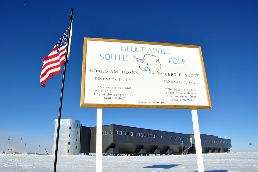
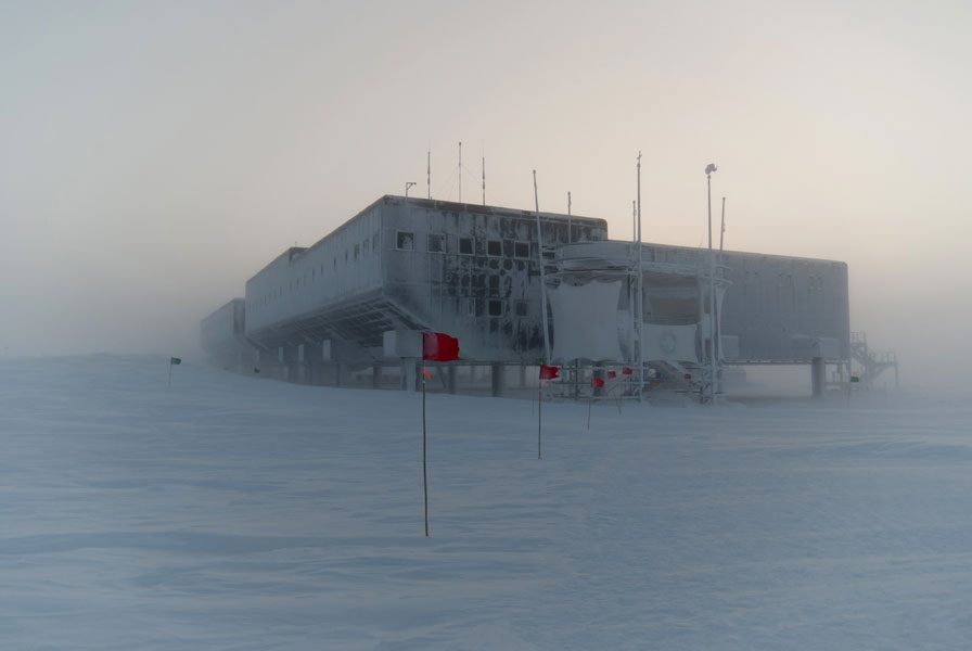
Station & Logistics
Tourism
Historic
Contact
Links
Station & Logistics
Home
>
Photos
>
Station